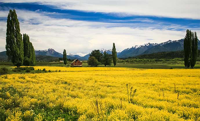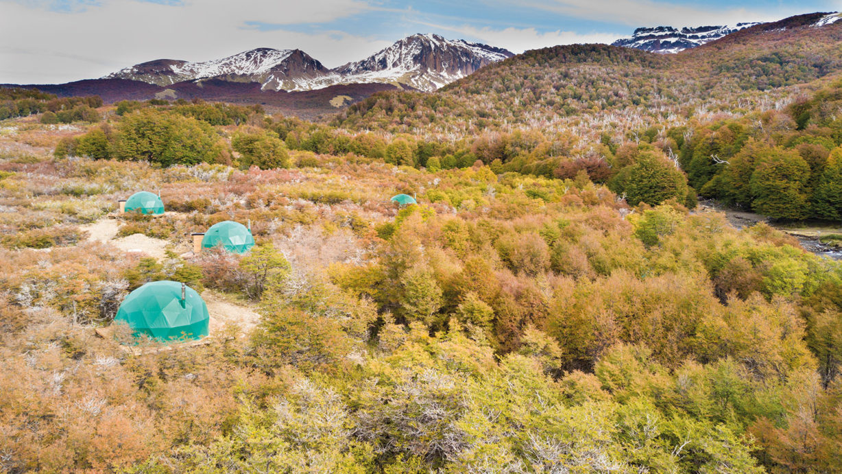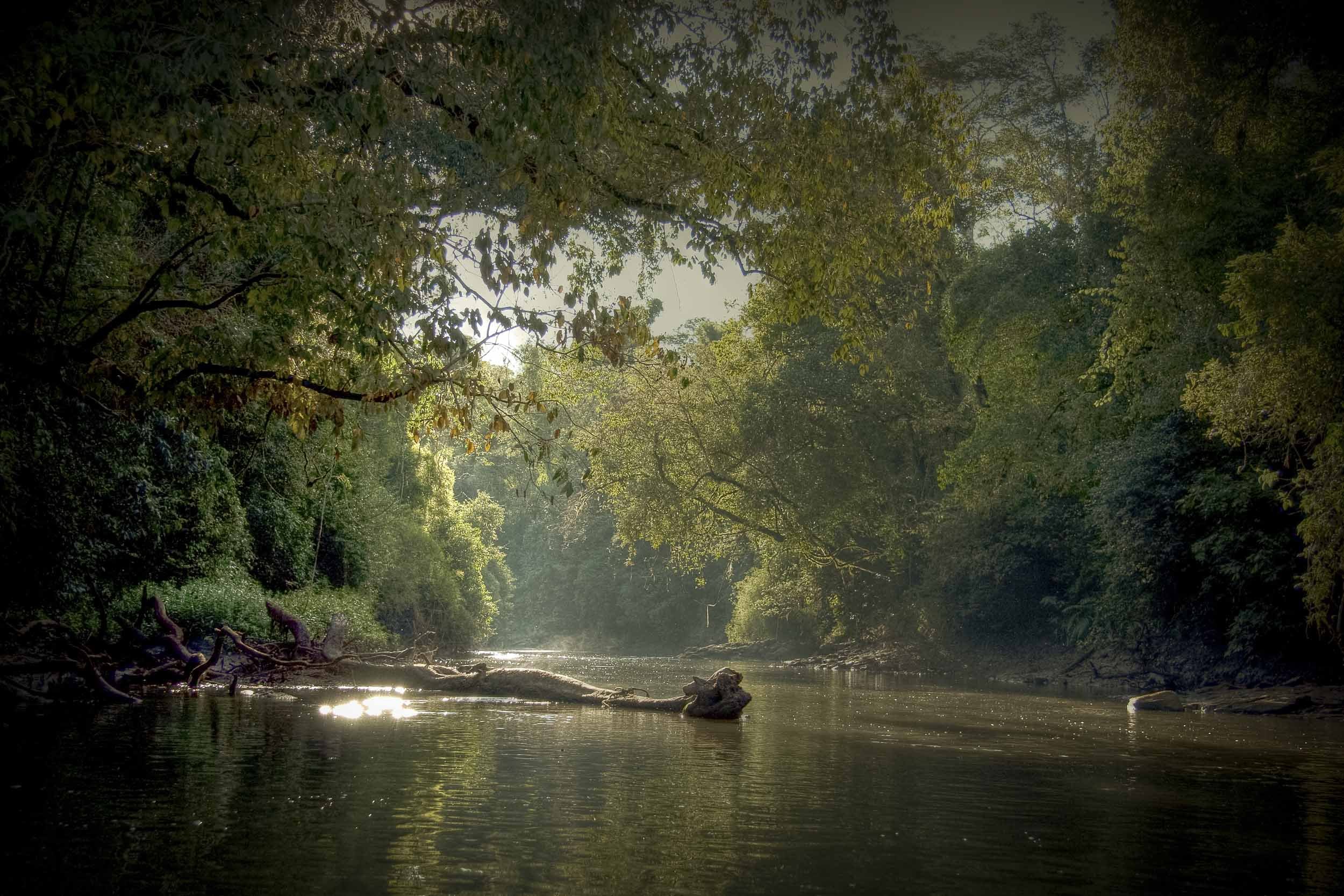

Patagonia is wider than most people picture it, and this journey drives the whole width. It starts on the Atlantic, where southern right whales come to calve in the gulfs of Península Valdés, passes through the Welsh villages of the Chubut valley, crosses six hundred kilometres of open steppe in a single day, and ends among the forests and lakes of the Andes. Two coasts of the same country, one sea and one of mountains, with the road between them as part of the story.
Day 1 · Trelew to Península Valdés
Highlight · A peninsula of cliffs, salt flats and beaches where southern right whales come to breed.
Drive · 216 km · last 66 km gravel
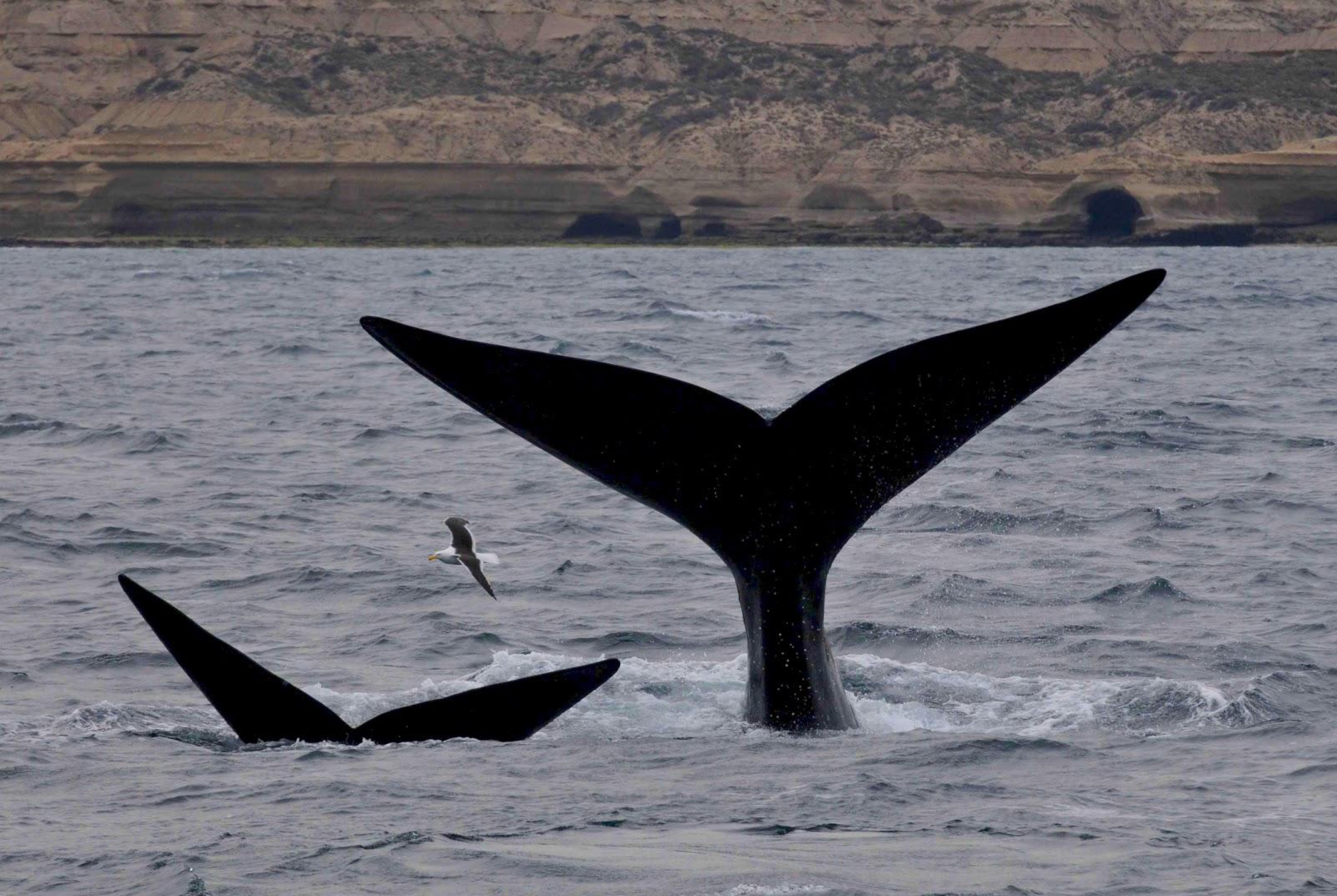
From the airport at Trelew the road runs north to Península Valdés, a World Heritage site of cliffs, salt flats and beaches built for wildlife. Southern right whales breed and calve here from June to December, orcas patrol the beaches between February and May, and dolphins are around all year.
Night · Península Valdés
Day 2 · Península Valdés
Highlight · Out of Puerto Pirámides by boat to the whales, in season.
A free day on the peninsula. From Puerto Pirámides, the only permanent village, boats go out to the whales in season; to the north, the San Lorenzo estancia has one of the largest penguin colonies on the coast.
Night · Península Valdés
Day 3 · Puerto Madryn, Trelew and Gaiman
Highlight · Welsh chapels and tea houses in Gaiman at the end of the day.
Drive · 256 km
South along the coast. Puerto Madryn faces the Golfo Nuevo from the cliffs, where the first Welsh settlers landed in 1865. In Trelew, the Egidio Feruglio museum is one of the great paleontology collections in the country. The day ends in Gaiman, the most Welsh of the valley's villages, with its chapels and its tea houses.
Night · Trelew & Gaiman
Day 4 · Across the steppe to Esquel
Highlight · The emptiness of central Chubut, from the Atlantic valley to the foot of the Andes.
Drive · 599 km · paved
The long crossing: west on the Ruta 25, through the emptiness of central Chubut, from the Atlantic valley to the foot of the Andes. Esquel is the main town of the Andean side of the province, and the starting point of La Trochita, the old narrow-gauge steam train.

Night · Esquel
Day 5 · Los Alerces
Highlight · Alerces thousands of years old, up to 70 metres tall, in the wet western end of the park.
A day in Los Alerces, one of the most beautiful parks in Argentina, created to protect forests of alerce, a southern conifer that lives for thousands of years and reaches 70 metres. 263,000 hectares of lakes, lagoons, waterfalls and dense forest of lenga, coihue and cypress; the old alerces grow in the wetter western end.
Night · Esquel
Day 6 · El Bolsón to Bariloche
Highlight · Lago Puelo and El Bolsón on the way north to the shore of the Nahuel Huapi.
Drive · 286 km · paved
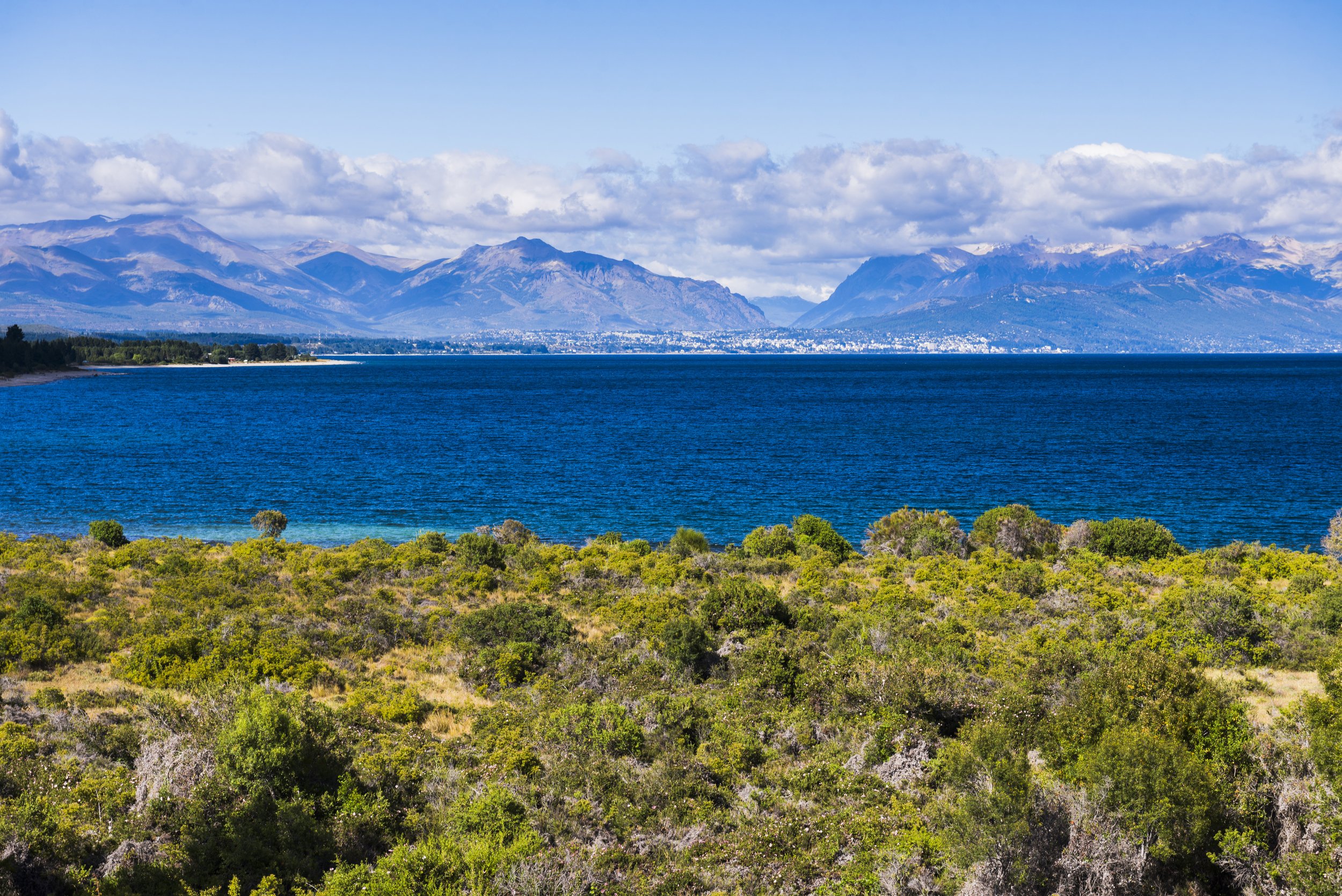
North, with stops at the Lago Puelo national park and El Bolsón. Bariloche sits on the shore of the Nahuel Huapi, the great lake of the north Andes.
Night · Bariloche
Day 7 · Cerro Catedral
Highlight · The spires of Cerro Catedral, and its lifts up to the high trails.
A day on Cerro Catedral, the mountain whose spires gave it its name, reached along the lakeshore past Playa Bonita. In winter it is the country's best-known ski area; in summer its lifts open the high trails.
Night · Bariloche
Day 8 · Lake Nahuel Huapi to Puerto Blest
Highlight · Lago Frías, emerald green under the Tronador.
A day on the water. Boats leave Puerto Pañuelo across the Nahuel Huapi, past the islet where Perito Moreno is buried, to Puerto Blest on the wet western shore. A short road continues to Lago Frías, emerald green under the Tronador, and on the way back a stair climbs beside waterfalls to Lago Los Cántaros.
Night · Bariloche
Day 9 · Villa La Angostura
Highlight · Around the lake to a mountain village at the narrow neck of the Quetrihué peninsula.
Drive · 78 km · paved
Around the lake to Villa La Angostura, a mountain village founded in 1932 and named after the narrow neck of the Quetrihué peninsula, with Cerro Bayo above it.
Night · Villa La Angostura
Day 10 · Los Arrayanes
Highlight · A forest of cinnamon-barked arrayanes, found almost nowhere else, on the Quetrihué peninsula.
Walk · Los Arrayanes · 12 km
The Quetrihué peninsula and the Los Arrayanes national park, created to protect a forest of arrayanes, cinnamon-barked trees found almost nowhere else, among coihues and cypresses. The forest is reached by boat or on a 12 km trail from the village.
Night · Villa La Angostura
Day 11 · The Seven Lakes road to San Martín de los Andes
Highlight · San Martín de los Andes at the head of Lake Lácar, in a valley cut by glaciers.
Drive · 197 km · 67 km gravel
On the Seven Lakes road, with a detour to Villa Traful. San Martín de los Andes sits at the head of Lake Lácar in a valley cut by glaciers, with Mapuche craft markets in town and the Chapelco ski area above it.

Night · San Martín de los Andes
Day 12 · Lanín national park
Highlight · The snow cone of the Lanín volcano over the black volcanic beaches of Lake Huechulafquen.
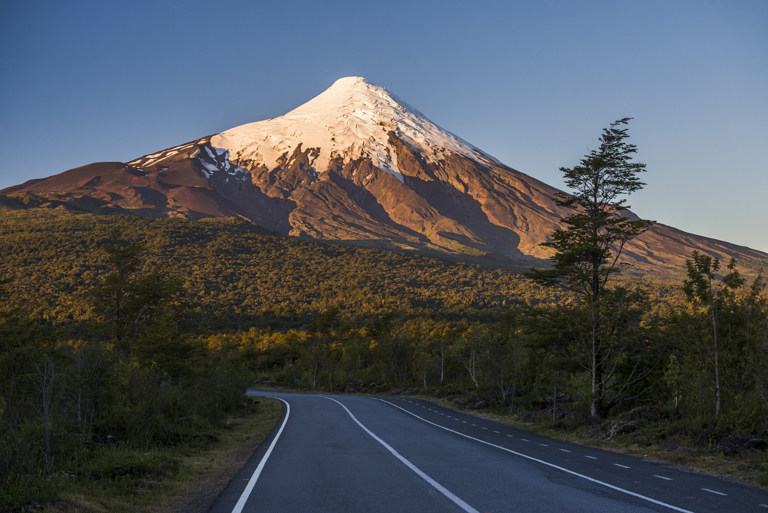
A day in the Lanín national park, named after the snow cone of the Lanín volcano, 3,776 m. Seven Mapuche communities live inside the park, and its northern valleys hold centuries-old araucaria forests. Within reach: the black volcanic beaches of Lake Huechulafquen, the Lolog and Curruhue lakes, a walk across a solidified lava flow and the Epulafquen hot springs.
Night · San Martín de los Andes
Day 13 · Back to Bariloche
Highlight · The last road of the trip, back to Bariloche and the airport.
Drive · 153 km · paved
On the road to Bariloche, where the car is returned at the airport.